
Why do some parts of Ohio get slammed with snow while others are dry
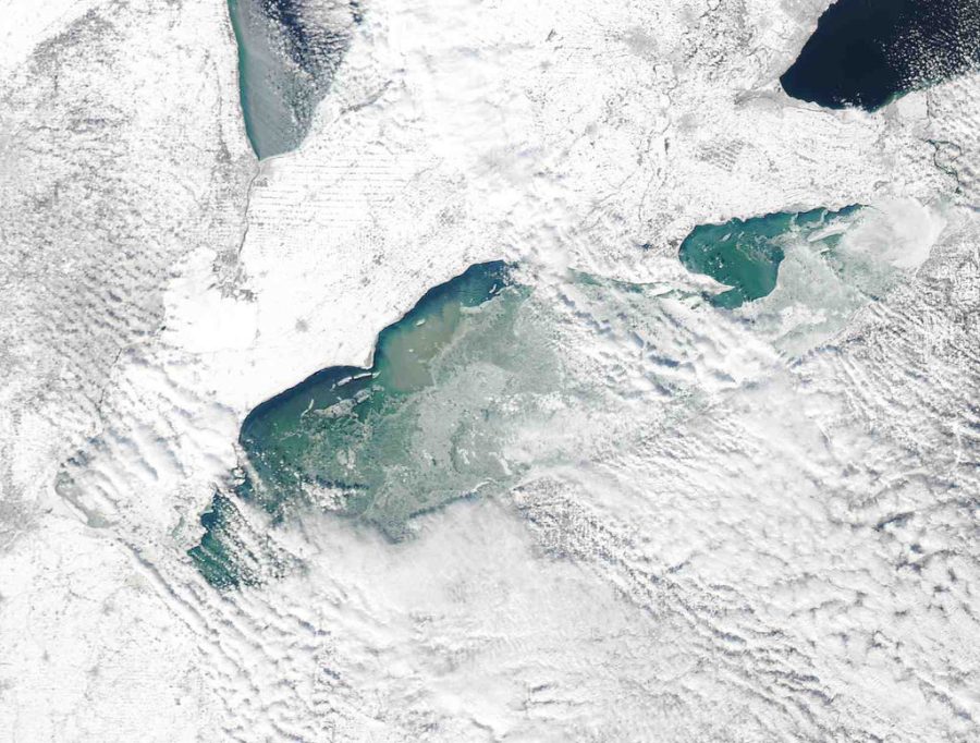
“MODIS satellite image – Lake Erie” by NOAA Great Lakes Environmental Research Laboratory is licensed under
Northeast Ohio consistently sees more than 30 inches of accumulated snow a year, while southern cities, like Cincinnati, call themselves lucky to get 8 inches of snow per year. Why is that?
While you may assume that northern cities only get more snow because it is normally colder in the north, you would be partially right. Cleveland and its neighboring cities get hit with snow because of the cold temperatures and its proximity to the Great Lakes.
The Great Lakes actually play a massive role in snowfall in the winter, due to lake effect snow. Lake effect snow happens when freezing air is blowing over the Great Lakes, and the warmer lake water evaporates and gets absorbed into the air.
When the lake air hits land, it cools rapidly, and all the moisture in the air freezes and turns into snow. The areas that get hit the hardest by lake effect are the cities that are downwind from the Great Lakes.
Lake effect snow does not happen all winter. It only happens during the times that the lake is not frozen over. When there is ice cover on the lake, it acts as a barrier that does not let the water evaporate through.
Areas in southern Ohio see less snow because they are too far away from the Great Lakes to be affected and there are consistently warmer temperatures in the south.
Cincinnati only averages 22 days a year where the temperature is under freezing, while Cleveland sees 37 days a year on average.
Grant Warner, sophomore, has been a staff writer for two years for the Blue & Gold Today. He plans to attend college after he graduates Findlay High...